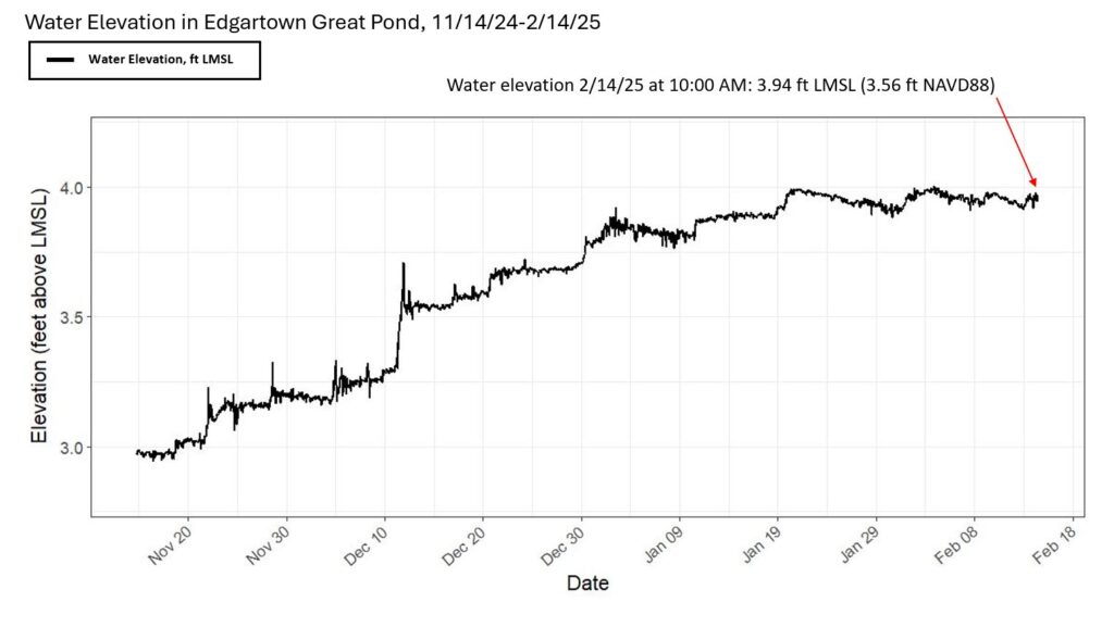
Our science team is continuously checking our pond elevation logger which collects data every 30 minutes. As of 10am on Friday February 14th Edgartown Great Pond had an elevation of about 3.94 feet at local mean sea level (LMSL), which exceeds the minimum elevation needed for a successful cut.
The question on everyone’s mind is: When will Edgartown Great Pond be cut?
We are awaiting official word from the Town of when the next cut will occur. EGP last reached extreme flood status (~5ft LMSL) in March 2018 and both the Pond ecosystem and the integrity of the properties around it suffered. Ensuring a timely cut of EGP is the most critical issue facing the Pond at this moment.
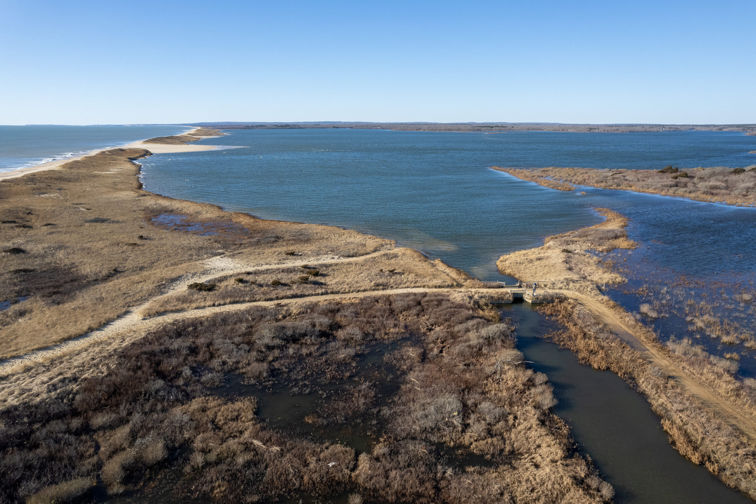
While our team was checking the Crax logger this morning, they ran into Town of Edgartown, Shellfish Constable, Rob Morrison who was removing boards from the sluiceway. The sluiceway serves as a tool to relieve a bit of the flooding pressure from the the Pond by spilling the water into Crackatuxet and through Herring Creek to Katama Bay. This however is a temporary solution.
Pond cuts remain the most effective tool to flush excess nutrients and maintain salinity for the brackish ecosystem.